The Softree development team is pleased to announce the availability of TerrainTools 9 (9.0.463) is a software toolkit for 3D mapping, terrain modelling and land development. Terrain Tools includes a variety of 3D mapping functions, as well as engineering design functions.
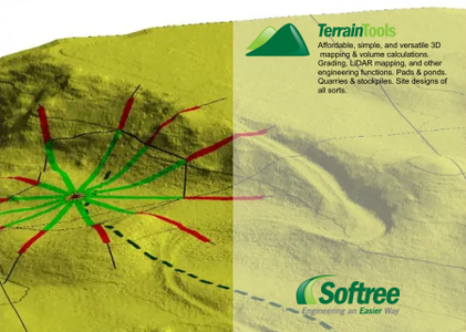
Terrain Tools is a software toolkit for 3D mapping, terrain modelling and land development. Ideal for 3D site design, handling survey data, stockpile volume calculations, mine surveying, quantity takeoffs, pad and pond design, geological mapping, surface contouring and visualization, and landfill site design.
Includes functions for: surveying, coordinate geometry, image manipulation, digital terrain modeling, contouring, volume and earthwork calculations, design, grading, visualization and report generation.
Quick product use compilation video outlining some of the functionality for Terrain Tools 3D from Softree Technical Systems. Versatile, low-cost, and very flexible 3D mapping and engineering tool.
Softree was born of a need to develop forestry road design software for the rocky & steep terrain of Canada’s West Coast. Since then we have grown and expanded into other civil markets as well. Today our clients include consultants, governments, landowners, and other stakeholders in a variety of industries all over the world.

Product: Softree TerrainTools
Version: 9 (9.0.463) with Tutorials
Supported Architectures: x64
Website Home Page : http://www.softree.com
Languages Supported: english
System Requirements: Windows *
Size: 410.7 mb
Password/解压密码www.tbtos.com